Effective
Press Release

AXzxzzcx

News

Archives: Projects

Layout plan for regularization of slums in Suratgarh
May 27, 2021 /

The government of Rajasthan took the initiative to regularize all unauthorized slums in Suratgarh Municipality limits under Project “Prashasan Sheron Ke Sangh”. Under this project, a total station survey and detailed socio-economic survey of all slum dwellers residing in unauthorized areas have been done.

Services Provided

  • Detailed Total Station Survey of all unauthorized slums in Suratgarh town
  • Detail Socio-economic survey of slums
  • Preparation of tenure file of all slum residents
  • Detailed mapping of all unauthorized slums
  • Superimposition of plan on city master plan
IOCL Pipeline Project
May 27, 2021 /

Detailed engineering survey, cadastral mapping, soil testing, departmental permissions for 600 Km IOCL pipe line route – Durgapur to Barauni (via Masudanpur), Gidha (Patna) – Muzzaffarpur, work is under completion stage, through substantial work had been completed for detailed engineering and soil testing.

Services Provided

  • River hydrological data collection/ generation
  • Cadastral Survey
  • Technical Report Preparation
  • Topographical survey at station locations
  • Geotechnical investigation at Station locations and HDD crossing locations
  • Providing services for establishing Right of User (ROU) in Right of Way (ROW)
    under P&MP Act, 1962
  • Obtaining approvals/ permissions from the respective State/ Central and other
    Statutory Authorities
  • Reconnaissance Survey
  • Detailed Engineering Survey
  • Population Density Index Survey
  • Soil Resistivity Survey
  • Soil Chemical Analysis Survey
  • Soil Stratification Survey
  • Data Generation Survey
  • Providing support services for forest clearance under Forest Conservation Act
    1980 and Forest Right Act 2006
  • Providing Services related to opening of Right of Way (ROW) and other activities
    for the entire final proposed pipeline


IOCL Digital Map

Housing for All Plan of Action
May 27, 2021 /

Firm assigned work of preparation of housing for all plan of action of entire 80 towns of the Haryana state, under 4 clusters i.e. Hisar, Rohtak, Ambala, and Gurgaon. Assignment mainly includes demand survey (using a mobile map with geo-tracking mechanism) of all beneficiaries, their D2D validation, socio-economic analysis and data, stakeholders meeting, computerization of survey data, preparation of HFAPoA using step by step process, preparation of project reports (DPRs) for Affordable Housing (Pvt. Land) and BLC (E) and BLC (N) verticals, for approx. more than 2.25 lac beneficiaries of the 80 towns. HFAPoA & DPRs have been approved by SLSMC of State and CSMC, GoI. Similarly, 7 towns HFAPoA of Rajasthan State is under progress.

Services Provided

  • Demand Survey
  • Organize City Level Workshops for Stakeholders
  • Assessment of Present Status of Slums
  • Formulation of Slum Intervention Strategies
  • Estimation of Urban Poor Housing Shortage & Identifying Supply and Demand Constraints.
  • Identifying Supply and Demand Side Reforms and Framing Future Supply Strategy.
  • Framing Investment Requirements & Financing Plan
  • Finalization of Housing for All Plan of Action (HFAPoA)
GIS Utility Mapping of Faridabad
May 27, 2021 /

GIS base map of Faridabad town was prepared and GIS utility mapping of water supply, sewerage, and drainage carried out, in consultation with each Junior / Assistant Engineers of MCF, of concern zones, work had been completed.

Services Provided

  • Collection of Various Maps & Data from Municipal & Government Agencies.
  • Incorporation of Cadastral Information.
  • Survey and Updating of Base Map.
  • Final Base Map.
  • Procurement of Satellite Imagery.
  • DGPS Survey & Geo Referencing.
  • Ortho rectification of the Satellite Images.
  • Preparation of Base Map and existing Land use Map.
  • Auto Level Survey for Contouring.

GIS Utility Mapping

DPR For Sanjay Nagar Bhatta Basti,Jaipur
May 27, 2021 /

Preparation of Detailed Project Report (DPR) for slum selected as a pilot project under Rajiv Awas Yojana. The goal of the task is to contribute to improving the pro-poor planning, management, and financial capacity of the ULB and in designing and implementing pro-poor projects resulting in improved services to the poor, enhancing their quality of life and thus contributing to the achievement of the Millennium Development Goals adopted by Government of India.

Services Provided

  • Database creation on environmental infrastructures such as roads, drains, water supply, sanitation, lighting, and solid waste management
  • Detailed Project Report(DPR) mapping of slum
  • Slum redevelopment modalities
  • Transit accommodation facilities
  • Techno-economic feasibility
  • Stakeholder consultation
  • Architectural details and site planning

DPR

City Development Plan Rajasthan
May 27, 2021 /

Firm assigned work of preparation of City development plan for the following towns and cities of Rajasthan viz. Ajmer, Pushker, Beawar, Kishangarh and Kekri cities and Jaitaran, Sheoganj, Phalodi and Nokha CDP is more focused towards financing and project implementation. It has been perspective for 5 years. Its main focus is to improve financial conditions of local bodies, ensure investment of funds to fulfill deficiencies in urban infrastructure.

Services Provided

  • City Assessment: Analysis of existing situation
  • Collection of data like population, Slum dwellers, economic base, occupation, Municipal revenue expenditure, State of infrastructure, environmental aspects, land use etc.
  • Objections & Suggestions
  • Meeting the gap between present and future conditions by improving Water Supply systems, Sewerage and solid waste management, Construction and improvement of drains/stormwater drains, Urban transport Laying/improvement /widening of arterial/sub-arterial roads and bridges to remove transport bottlenecks, Laying of ring roads and by-passes around metro and megacities, provided certain cost recovery measures like toll charges, Construction and development of bus and truck terminals, Environmental improvement and city beautification schemes.
Behror Ring Road
May 27, 2021 /

Behror is the gateway of Rajasthan situated on NH-8 at Mile Stone 133/500 and it connects Jaipur to Delhi. The heavy vehicle movement its causes a bottleneck when NH8 passes through the Behror town. To remove this bottleneck, Jaipur Development Authority decided to construct Benror Ring Road around the Behror town for smooth vehicle movement and to boost the economy of the town.

YCSPL was appointed as the Design consultant by Jaipur Development Authority for the Design & Drainage of Nalla (Drain) and Bridge for the Preparation of Detail Project Report for Behror ring road.

Services Provided

  • Strategic Options Study
  • Need & Options Analysis
  • Traffic Surveys
  • Engineering Surveys & Investigations
  • Preliminary Engineering & Design
  • GAD Preparation
  • Detailed Costing
  • Financial & Economic Analysis
  • Preparation of Concession Agreement
  • Legal due-diligence & documentation
  • PPP documentation
  • Land acquisition

Behror Ring Road

AMRUT Rajasthan
May 27, 2021 /

25 towns water supply scheme designed and DPRs were prepared including drawings A&F, technical sanction & preparation of tender documents, work completed successfully for AMRUT Rajasthan.

Services Provided

  • Cating existing system of sewerage network of town
  • Status of sewerage network and service level
  • Zone-wise coverage of household details
  • Status of existing sewerage treatment plant – location, capacity,
    inflow in the STP duly mark on the map
  • Status of ongoing/sanctioned project
  • Prioritization of the area under AMRUT Rajasthan Yojana
  • Coverage of latrine, coverage of sewerage network, the efficiency of
    collection of sewerage
  • Contour file of entire city if available
  • Any GIS/AutoCAD format maps related to the sewerage network
  • Master Plan, Town Map, Land Use Plan, and Ward Map (2011) (as prepared by Haryana Space Application Centre) indicating Municipal Boundaries and Development Zone
  • Topographical and level survey of the proposed sewerage network system of the new area keeping in view the city level benchmark and establishing contours.
  • Designing the sewer network assuming the wastewater discharge @ 80% of water supply and other factors as per manual of sewerage issued by CPHEEO, GoI.
  • Detailed L-Section for finalization of alignment of main/outfall sewer.
  • Detailed design of precast reinforced cement concrete manholes for different depth categories.
  • Designing house sewer connection from manhole to each household.
  • Preparation of tender Document.
AMRUT Haryana
May 27, 2021 /

AMRUT is a centrally sponsored scheme, that facilitates the development and improvement of service levels up to achieve 100% benchmarks. YCSPL has prepared Detailed Project Reports for Sewerage, Drainage, Water Supply, Green Area Development, etc. for 15 towns namely, Panchkula, Ambala, Panipat, Sonepat, Karnal, Yamunanagar & Jagadhari, Thanesar, Gurgaon, Faridabad, Rohtak, Hisar, Sirsa, Rewari, Bahadurgarh, Palwal, etc. DPRs of project cost more than 2300 + crore has been approved by the technical committee and tendering is under process / invited and work commenced at sites.

Property Survey Haryana
May 26, 2021 /

Scope and requirement of property survey:

The approach and methodology that led us to accomplish the project of Property Survey Haryana was a crystal-clear understanding of the project requirements, in-depth market research, effective planning for an in-person field survey using a mobile device, and strategy toward project monitoring. Our talented and experienced team of surveyors divided the lifecycle of the whole project into two main phases –

  • Development & Implementation (T1)
  • Operation & Maintenance (T1+4 years).

The scope of work as required by the successful completion of this project, as proposed by our team was the design of a mobile application according to the approved survey format, seamless and end-to-end integration of the mobile application with the existing central server, door-to-door surveying of properties in addition to a base map for integration of properties within 30 days for reference and understanding. Apart from traditional techniques, YCSPL employed GIS technology for the integration of properties on the GIS base map and its corresponding tax data.

To minimize manual errors in data manipulation, we delivered an updated property tax database and publishing of notices and bills. Besides that, we also provided training to the senior officers from our trainers and necessary technical assistance, support, maintenance, and training for four years. 

Integration of survey over the base map and survey approach:

The process of integration, in any given project, is undoubtedly the most integral process of the entire lifecycle of the project. To provide end-to-end and immersive integration of the digital survey over the base map, we tallied the base map concerning the topo sheets and existing GCP, identified permanent features such as towers and road junctions, and delineation of the study area. The total area on the satellite image was divided into grids for ease of on-site validation of properties. To facilitate the layering of properties, each layer had different physical features being marked with a specific geometry.

These layers had different attributes according to the physical feature of the layer and each layer was given a unique code. All the geo-tagged locations and surveyed databases were integrated with the highest degree of accuracy that was possible. The points were overlaid on the high-resolution imagery which was made available by DULB. All properties had the Unique Property Identification (UPI) with QR Code affixed to their buildings using a metallic sheet board.

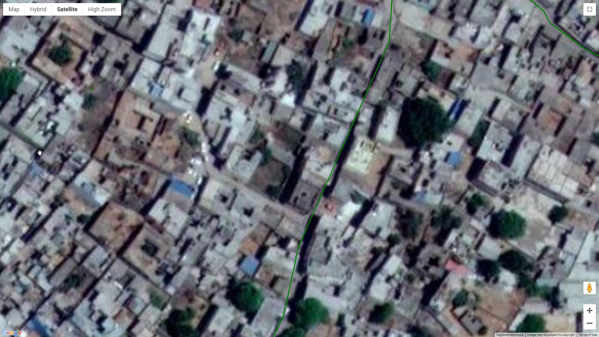
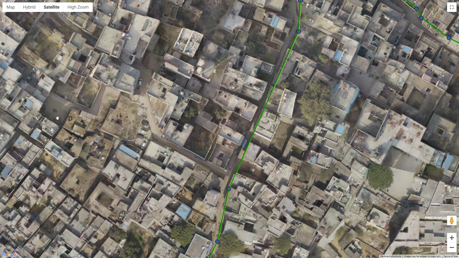
Drone Mapping ProgressDrone Mapping

Monitoring – onsite and offsite:

The monitoring process can be divided into two parts: Onsite and Offsite

The offsite monitoring is facilitated by online tracking of the surveyor by the use of GPS. Offsite monitoring is helpful in the calculation of the actual period for the project’s completion. An API was designed in a 10-meter range of the target property and the surveyor modified the accuracy by moving the point position. Offsite monitoring guides the surveyor for any inaccurate geotagging of the property and was controlled through a well-designed MIS outcome, duly approved by the DULB. Project progress monitoring as per the approved work plan was monitored every day through the MIS outcome sheet. 

Property Survey Project

Whereas the onsite monitoring will detect everyday movement and onsite control will be monitored by a property expert. The GCP point’s location and their fixing were finalized for a permanent point of view. A team of three surveyors was assigned a unique identification number which was deployed for each ward. Cross verification of the onsite measurement by the survey team was done using an electronic distance measuring device. The field data was regularly transferred to the central server of DULB and was also monitored by GIS experts regularly.

Base map integration strategy:

The base map integration strategy that we employed for the seamless running and successful completion of the project consisted of a geo-enabled survey module, tax assessment module, collection module, property tax analysis module, and citizen services. The integration of geo-tagged survey data points was based on their availability from the department. We suggested the most appropriate and well-suited map API for the mobile application according to its high accuracy, low error rate, ground truth control GCPs, licensing, and costing which was approved by the department before integration.

Property Survey Project

Database integration was also performed like visuals, graphic and non-graphic data in addition to the integration of property tax, license charges, data capturing mobile application, and requirements of the software. After the developmental phase and integration, maintenance of the application was well taken care of by our team and was made accessible and configurable with Laser Distance Meter or Electronic Measuring Device.

Challenges:

There were some inevitable challenges we faced while the execution of the project which were eventually handled and sorted by our team. Our team understood that these issues were important to be taken care of while focusing on the project itself. Those certain roadblocks were: 

  • The design of the mobile application, backup server, data loss, and integration with the central server. 
  • The risk of inaccuracy or low accuracy of satellite data availability by DULB
  • The possibility of not co-operation by the property owner in the field during the survey as well as at the time of delivering tax notice which could hamper progress. 
  • Any delay in the timely availability of old data, demand register, updating of NIC server, etc. is an important activity that could have delayed the project. 
  • Any hindrance in the timely availability of the base map by DULB through a third party was posing a big risk as no time frame had been given in the RFP. So, the geo-tagged property with site measurement, served the very purpose of delivering tax notice though they could have been inaccurate there was no other option. 
  • The time frame given in RFP was extremely unreasonable. Within this time, primary and secondary data were challenged without which field surveys cannot be taken up appropriately.

Tools used for monitoring property survey:

With strategic planning and performance reviews, our team chose specific tools for overall monitoring of the project with timelines. Online tracking of surveyor and geotagging of the property was executed in addition to continuous follow-up on PC Monitor via well designed MIS system. All technical solutions were reviewed thoroughly within the team by covering all its aspects and components. A comprehensive project plan was prepared by the project manager covering a project roadmap, and a detailed understanding of the scope of work and its challenges, mainly including admin issues, and technical issues to be carried out. The entire setup of the project office within or nearby major city ULB, purchase of equipment, machinery, and design of sitting spaces was planned & placed by the consultant. Essential user manuals were delivered to gain a basic understanding of the project. After the successful completion of the project, our team provided the necessary support and maintenance.

How can we help you?

Change becomes the most dynamic, powerful source of progress you have

Get in touch with us