Organizations including local and national government agencies are progressively acknowledging the economic, strategic, and business value of Geographic Information Systems. This next-gen technology allows effective visualization, analysis, and embellishment of geographically referenced spatial.
In the 21st century, we use phones and other devices that track GPS and empower organizations to seamlessly trace customer data. With a powerful GIS strategy and an efficient GI system, your business can reap the benefits of this untapped market.
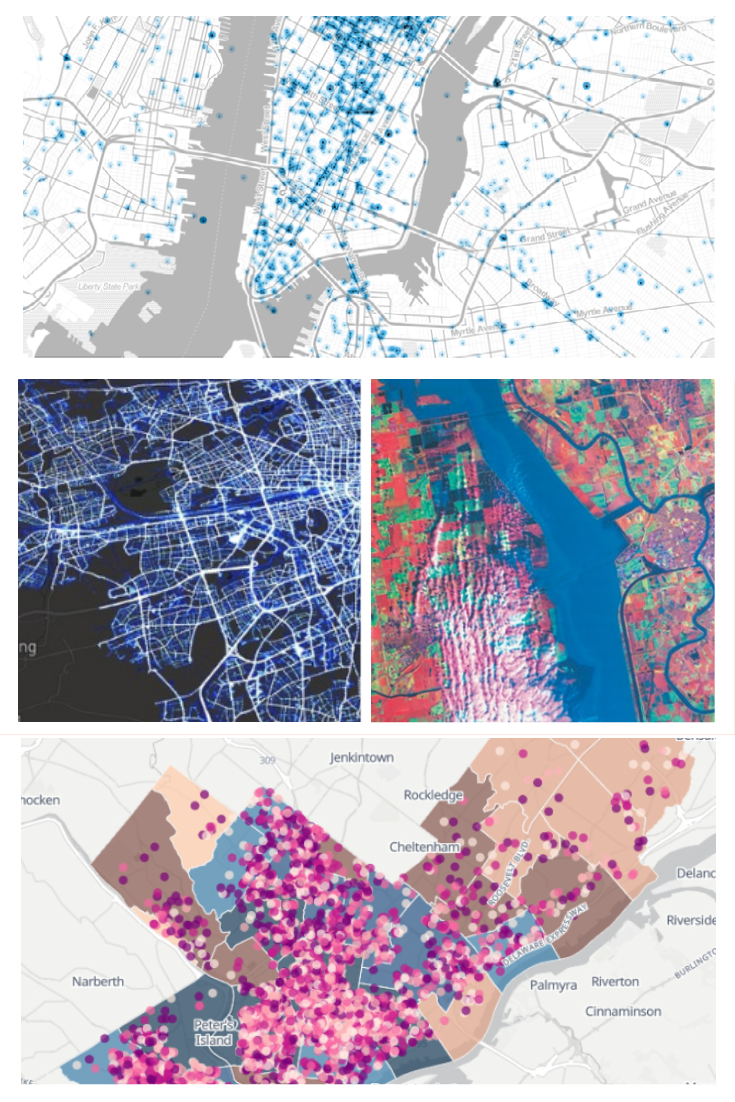
YCSPL with a talented team of industry experts can help you gather real-time location data to recognize patterns and deviations which will be instrumental in bolstering informed decision-making and achieving operational efficiency. With the use of spatial mapping analysis software, we can facilitate your business by bringing down costs and improving collaboration.
Our in-depth knowledge and expertise are an asset to your business since we ensure to provide end-to-end holistic services. We provide a wide range of GIS services in India that incorporate Data collection & processing, Custom geospatial and GIS development, Geoprocessing & geocoding, Consulting, and Application Design & Development.
Operating in the untapped and unexploited market of Geographic Information System can get extremely demanding and gravely overwhelming. This is where our team of GIS experts and geospatial consultants come along to assist you in building an end-to-end integrated Geographic Information Solution for your organization.
Application design and development as well. We will help you in delivering high-quality, business application solutions that are scalable, robust, revolutionary, and easy to understand and maintain.
Since GIS is still a growing technological system, organizations that are testing the waters or starting out might need a little assistance. We are here to help you identify and analyse your business requirements, recommend solutions, assist you in implementing those solutions, and consult you to make informed decisions.
Our GIS services include geospatial and GIS development custom-made for your team and your organization. Our team of GIS experts will perform a GIS-focussed assessment to define best practice recommendations for your team and your organization.
Geographic data collection and its intelligent processing are crucial to using GIS to the benefit of your business. We at YCSPL will help you in simplifying the way you capture that data and convert it from physical maps and integrations with GPS satellites, field computers, LiDAR, and remote sensors.
The geospatial data is of no use if it’s not processed properly. To gain from the location intelligence of this unprocessed data, geoprocessing and geocoding are done. To take this off your shoulders, we will cover automated and manual geoprocessing using geocoding technologies.
The success of your business project will be determined by a lot of factors including the accuracy of data that are being used by it. GIS-based survey is important and brings all the assets in a single platform.
We at YCSPL provide extensive aerial imaging and mapping services for the purpose of inspection and surveying a parcel of land. Navigating complex urban, as well as rural area projects, become much easier and faster with drones bearing high-resolution cameras, video cameras, and thermal imaging cameras.