Geographic Information System (GIS) is a technology that has the ability to process thematic geographic layers and deliver data-rich maps and analytic insights. They help in both statistical visualization of a geographic region and also offer geological trends as well as other understandings through maps. Every components of GIS is carefully integrated together for solving a whole lot of real-world problems.
GIS also opens up a world of opportunities by helping us understand, interpret, visualize data, and question any patterns, trends, or relationships geographically through a wide range of reports, maps, and charts. They help us understand any data quickly by simplifying it in an interpretable format. This is one of the reasons why they’re widely used as a problem-solving tool both by governmental bodies and private organizations.
They also offer multi-disciplinary solutions in diverse fields like Remote Sensing
There are five key components that aid in integrally helping GIS utilization possible. This includes hardware, software, people, and data.
Hardware refers to the computer, graphic devices, scanners, and plotters that are used by the end-user to operate GIS. There are advanced desktops and centralized servers that are used both as networked or individual stand-alone configurations.
With the internet having a massive reach and potential, there are now a lot of web-based applications that are deciding the GIS system architecture.
Software refers to the tools that are required for storing, displaying, processing, manipulating, and analyzing geographic data. There are several well-established Database Management System tools, Graphical User Interface (GUI), etc that are available for performing GIS operations.
GIS operations are essentially happening because of people who can process the collected information and manipulate them to offer us crucial data insights. Solving real-world problems by making sense of the collected data combined together is only possible because of all the technicians and specialists that are doing this.
At YCSPL, we are fortunate to have all the resources that we need who can bring the best of innovation to the table for arriving at instant solutions related to GIS utilities.
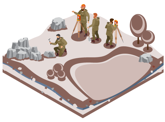
The integration of spatial data with other resources or a DBMS is one of the prime components that enables GIS systems. Any definable relationship between spatial points can be essential data. Traditional cartographic maps, demographic statistics, hard-copy data, geographic reports, etc are a few examples. Spatial data collection is now being done accurately with the help of new-age surveying equipment like drones and they’ve made way to standard base maps (digital) being available to scale.
The data here is stored in the form of thematic layers. The two types of GIS data include:
Raster – Here the collected data is stored in the form of rows and columns.
Vectors – Here the collected data are in the form of points, polygons, or lines with vertices attributes.
Almost every industrial vertical there is are directly or indirectly on a day-to-day basis. Here are a few top applications that you cannot miss knowing about.
The visualization that GIS offers is the major reason for its overall popularity. Google maps is a product of GIS services and we are practically using it every day for navigation its API is utilized almost in every application.
Through various data processing techniques, GIS can give a clear picture of a lot of geological conditions, weather patterns, and crop rotation planning. They also help identify trends of drought or flooding to mitigate any losses by preparing up ahead. The agro maps derived from GIS data help us to understand crop resilience towards climate change, erosion productivity impact calculation (EPIC), farming trends history identification, real-time crop yield calculation, pest attack trends, etc. All these can collectively improve the quality of yield and productivity of farming techniques.
They serve very good data understanding about a lot of climatic phenomena, environmental conditions, the occurrence of droughts or floods, disease pattern identification, pollution monitoring, etc. They can thus help us identify any impending risks and help in risk aversion ahead of time.
With irrigation management and crop forecasting application of GIS, it is also possible to reduce the incurrence of losses in the agriculture and farming landscape. They also help in limiting any outbreak of diseases in particular regions and prevent their escalation by containing them from within.
Urban planning involves a thorough understanding of spatial data, their relationship with the surroundings, and other socio-economic planning. Every component of GIS together aids in pattern analysis and devises plans that cover every last detail.
Cities are the economic powerhouse of any country. It is thus important that they’re resourceful and offers improved access to their citizens in all respects. With GIS data, it is possible to understand a lot of mission-critical data like the economic differences between regions, resource availability, permissible land planning, etc. All these are essential for urban planners to design, develop and deploy structures that are self-sustainable and yet futuristic.
At YCSPL, we have been deploying GIS solutions ever since their inception years ago and have been closely associated with a lot of projects at scale. Our expert technicians have years of hands-on experience and they present the best solutions for even the most complex of industrial problems.
GIS is the present and they’re rapidly evolving to be more futuristic each day. Keeping up with the latest trends might help your business just stand out.