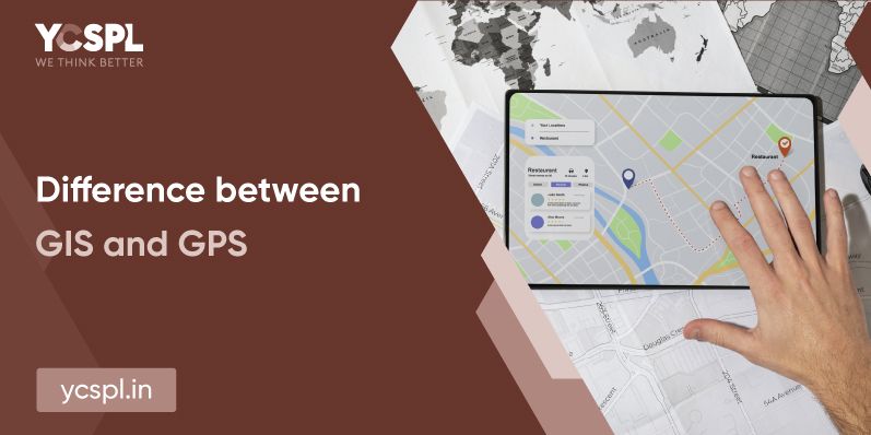
Geographic Information Systems and Global Positioning Systems might seem one and the same from an outsider’s perspective but they’re actually not. The difference depends on the means of data collection. It is essential that you understand the difference in their approach to understanding their specific areas of application. GIS and GPS predominantly are used in an interchangeable fashion. But GPS generally deals with navigation while GIS deals with geospatial analytics and mapping of data.
In order to understand the difference between GIS and GPS systems, it is important to understand how they foundationally differ in their approach. Here’s a quick gist of everything you need to know to understand their respective scope of work better.
GIS predominantly deals with the analysis of the surface of the earth and process that information to analyze any given data for establishing coherent relationships. There are five major components to GIS service including hardware, software, people, data, and methods. GIS data is predominantly stored in the form of rasters and vectors which can then be further processed to offer a comprehensible understanding of any data in a geographical context.
Businesses belonging to diverse sectors can go about informed decision-making by having a complete understanding of the topographic, environmental, and demographic data availed from GIS sources.
The visual data interpretation presented by GIS systems is helping us with smart mapping solutions each day forward. They’re assisting us with our everyday navigation purposes through applications and APOSs like Google maps.
GIS services help us with the visualization of relationships, trends, and patterns of geographical data which can help us better our urban planning strategies. Driving successful and sustainable constructions is possible with enhanced GIS utility functions and arriving at time-tested urban planning solutions.
Geospatial models and environmental monitoring are possible with GIS which can help in the thorough assessment of any given locality. These can help in disaster management, mitigation planning, and overall recovery. Helping to understand flood-prone low-lying areas is a common example of understanding how this works.
GIS has predominantly shaped the Global Navigation Satellite Systems (GNSS) and they’re being increasingly employed by businesses belonging to diverse sectors. Location sensing pertaining to any remote object is possible anywhere on earth with a GIS company backing your efforts.
By understanding the geographic patterns of any given farming area, you can dissect a lot of crucial information to arrive at geographical models that can help with crop planning, and rotation strategies, prevent surface run-offs, improve product quality, and a lot more applications.
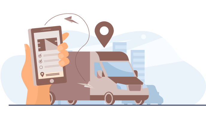 They’re not just a system for effective navigation but also provide a synchronized timekeeping system worldwide. Everything from our wristwatches, cell phones, ships, or aircraft relies on GPS systems for their everyday functioning. Location, navigation, tracking, timing, and mapping are the predominant uses of GPS. People from all walks of life and industries belonging to diverse verticals are utilizing GPS systems on a day-to-day basis.
Dominating our everyday lives, the telecommunication sector requires a continuous exchange of information that needs precise accuracy with time. GPS has suited this requirement most and has been widely adopted for this specific purpose.
Understanding everything from the location of soldiers, monitoring the positions of enemy troops, tracking fighter aircraft, etc requires precise GPS systems. It is for this reason that globally every nation around the world is building up its own individual satellite navigation systems.
There are a lot of topographic maps that can be devised using GPS technology including seafloor evaluation and earth surface research due to the boundary determination capability that it brings to the table.
GPS helps in performing precision farming techniques which can help us improve the productivity of the entire effort, reduce the cost incurred and reap maximum returns. Tractors equipped with GPS are an example of GPS application which is assisting farmers to go about their cultivation even in foggy weather conditions.
This is a common application of GPS that cannot be overlooked. The entire world is functioning together as one because everything from basic navigation to a restaurant nearby to controlling air traffic is all performed with the assistance of GPS technologies.
To sum up ‘what is the difference between GIS and GPS systems?’, the answer would simply be this. GPS deals with navigation systems while GIS involves the understanding and analysis of geographic data. GPS involves a network of satellites to transfer information to the ground while GIS involves five key components for performing the operation.
GPS signals are easy to interpret and process since they only deal with location but GIS rather involves separate processing of the collected data streams to create geographical models which can be put into further analysis.
When you hire someone like YCSPL to take care of your technical niche requirements, you’re giving yourself the space to just focus on your core business operations while we deploy a strategic plan of action to meet your business requirements. To know more about the scope of work we deliver, our portfolio, or our experience, pick up the phone and get into a conversation with us today.