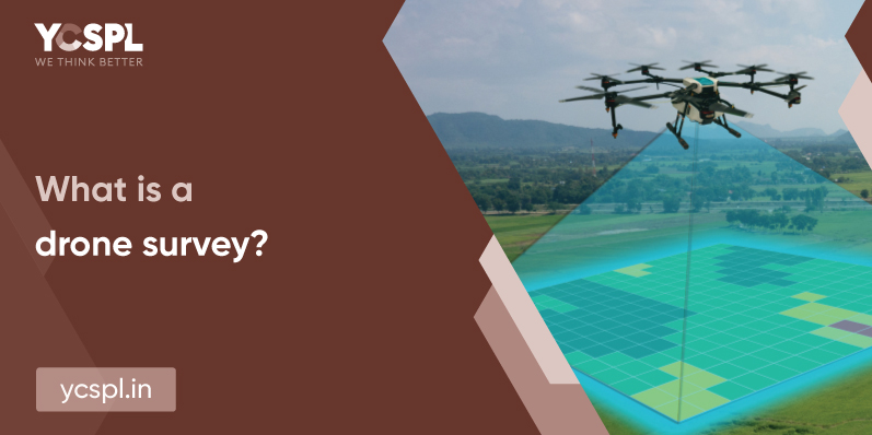
Surveying in general involves measuring the end-to-end of an area before the beginning of any construction project. Drone survey typically aids in aerial monitoring and measuring with an integrated payload. Through high-definition photos captured by a downward-facing camera, it enables visualization of the entire property boundaries from an aerial viewpoint. This information helps in informed decision-making to upkeep infrastructures. In addition, they also help with construction planning and the delineation of property boundaries.
Aerial photographs captured at different angles collect a rich pool of information and geo-references. They accumulate thousands of data points that are precise in detail. This further allows the developers to create accurate 3D models before beginning their construction efforts. This visualization gives them an upper hand that other traditional surveying technologies do not come close to offering. The drone survey also presents accurate volumetric measurements. They can thus help in the creation of maps or property boundaries that are on point.
Drones capture information from the above by using multispectral and RGB cameras. There are also drones that carry LiDAR sensors (Light Detection and Ranging). These utilize the application of lasers to collect data sources that can be further developed into accurate 3D models.
Previously, the data collected by drones needs processing. Post landing, the operator retrieves this data. But drones have come a long way now and it now enables a free flow of data in real-time. All the collected data points offer actionable information by coupling them with Geographic Information Systems. Making sense of the raw data even when the drone is still flying is now possible.
These are maps that are created for larger surface areas by distorting and stitching together a sequence of images that are captured by the drone. They are geometrically corrected to offer 2D information like a map that is precise to every pixel.
Drone survey technologies generated densified point clouds with accurate geospatial coordinates of high accuracy. They help in measuring horizontal distances, surface area, and even volumetric measurements.
They present a surface composed of triangles. The edged, texture, and faces of an area shot by the drone are implemented into the vertices of a triangle. This minimizes the distance between selective points pertaining to the point cloud. They are heavily utilized for visual inspection of varying scales.
Drone images carry 2D information along with altitude values. This gives us three-dimensional geospatial coordination that can help create DSM models of any area.
Drone data can also create topographic models of the surveyed landscape. They are effectively utilized in the areas of land-use analysis, geological applications, environmental studies, flood/other natural disaster mitigation, etc.
By processing the DTM and DSM models, we can arrive at contour intervals. This can be further projected into a map of contour lines to give a better understanding of the surfaces that are being aerially surveyed.

The performance of a drone and the accuracy of the data it offers depend on various components. This includes camera resolutions, the height of inspection, vegetation, and even the utilization of software tools for the geolocation of aerial images. The GPS data powered by drones only report up to +- 10m accuracy. But the data is further calibrated at the ground control points to locate points that offer +-1cm accuracy. Under optimal conditions, high-end surveying drones offer absolute precision.
Rapid improvements in UAV technologies have now enabled payload integrations that feature 5.2k image and video resolutions. This greater pixel density maximized the overall accuracy of the captured data point. Incorporated with GIS and GPS systems, they aid in accurate 3D maps and models that are extremely reliable. In addition, drones are now developed with a range of stabilization techniques. This makes them operable under any challenging weather conditions or rough terrains.
They eliminate the need for exhaustive resources and overhead costs since they carry out operations from the open horizon. They also curb the need for flying a helicopter or light aircraft for surveying purposes which are highly cost-intensive. Drone survey prices are also going down due to the combination of rapid commercialization. They also offer ease of data processing in recent times eliminating the need for extensive resources.
Commercial drones have gained a lot of attention in recent times. This is because of the flexibility they offer in terms of covering extremely large surface areas. And they do it in a relatively shorter period of time compared to any other method.
Drone survey services also deliver precise results in just a matter of minutes which offers a solution for time-sensitive projects.
UAVs make it easier for aerial analysis of practically any subject at any altitude there is. At YCSPL, we have worked on a wide range of projects that required remote access to inaccessible terrains.
A well-planned out flightpath and an experienced pilot in the picture can handle drone deployment in any remote area. Since drones enable up to 30x zoom, they can be put into use for the inspection of any subject.
YCSPL has been relentlessly working on our research and development to deploy drones of maximum efficiency to meet the data needs of any industry vertical!