
Drones are new-age tools that are powered by advanced technologies. It is rewiring the entire landscape of the mapping and surveying industry. These offer a lot of data-rich insights in the areas of photogrammetry, 3D mapping, land surveys, and topographic understanding. Industries are now running after understanding the end-to-end functioning of drone surveying working to implement it for their benefit.
The process involving the determination of positions and distance between two spatial points in a 2D or 3D space is what surveying means. Deploying drones for the process is what we refer to as a drone survey.
They offer critical information that helps property managers make informed decisions with respect to property boundaries, infrastructure data, and construction planning. Since drones are deployed aerially, they’ll get through any hindrances. It is also possible to mine data sources from areas that are practically inaccessible.
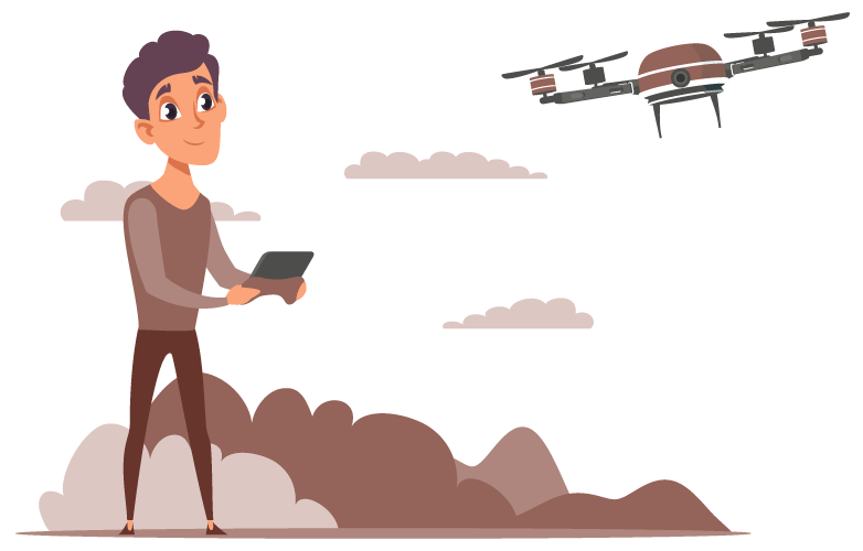
Drones are deployed aerially and they fly at specific heights above ground level. They are equipped with payloads that carry precision-rich RGB cameras that are multispectral. These aid in capturing images and videos from the above.
They are also featured with other sensors and LiDAR payloads which aid in collecting data points that can then be processed to collect a lot of valuable information. The payloads help in capturing aerial images from different angles and each angle can be tagged with geographic coordinates.
Coupled with GIS systems, they can aid in complete visualization and mapping out locations. Drones in operations today are technologically advanced and can aid in collecting real-time data. They can now fly up to 10 km even in the roughest of terrains or weather conditions.
When you work with expert drone companies like YCSPL, they’ll offer you precisely on-point data that are completely reliable. The location accuracy of drones is accurate up to 2cms. For this reason, drones are rapidly replacing the age-old surveying methods and are increasingly sought after.
Through image distortion and stitching together techniques, drone images are processed post-flight operation to generate orthomosaic maps. These are highly accurate to every last pixel and help us with a thorough understanding of 2D spatial information.
Digital Terrain Models (DTM) help in capturing data b filtering unnecessary data points like buildings or other structures. This will give us X and Y coordinates of a complete region along with the highest altitude reference in the area thus giving 2.5D information.
Digital Surface Models (DSM) help in surface mapping with latitude, longitude, and highest altitude coordinates of the specific region despite the accessibility, physical structures, or terrains.
Drones can be helpful in identifying temperature anomalies in mission-critical areas. They are thus handy in offering surveying solutions for complex facilities, industries, military bases, or even cityscapes. Supply pipes, heat exchange units, hot water lines, condensation return lines, etc can all be effectively and accurately monitored for ensuring added safety in operations. This will also help in easy recuperation and disaster aversion in these areas.
This represents the drone data that are reproduced for arriving at precise vertices, textures, faces, and edges of any given area that is shot aerially. They help in the inspection of areas, property management, etc among other things.
Drones can help in generating accurate 3D models of any area. They can thus help in land surveying processes for generating the above-mentioned deliverables. A land survey is essential in monitoring the topographic nature of the given space. This will give us an understanding of their geological positions, if they’re prone to vulnerabilities like flooding, construction of roads, infrastructures, bridges, or pipelines, and even give insights with respect to farming. Accurate drone surveying working data will help us keep track of new constructions and see if they fit in with the existing plans that we have in place.
Drones surveying methods are now being increasingly popular in the industrial segments for stockpile measurements and analysis. Since drones can capture topographic data of any anomalous space, they’re strategically deployed to capture volumetric measurements. The advantage here is that they do not give an estimate but the actual volume assessments. They’re thus used extensively in the fields of agriculture, mines, and inventory of other fields.
A combination of Digital Surface Models, Digital Terrain Models, and LiDAR survey data will help us with effective and efficient monitoring of any rough terrain or slopes. This will help us mitigate the disasters that are prone to occur when slope failure happens. Drone thus helps in the aversion of a lot of geologic hazards this way.
Urban Planning deals with the comprehensive design, development, and execution of smart infrastructural plans that pave the way to a better cityscape infrastructure. With GIS utilities and drone data combined together, you’ll be able to better plan any advancements by paying close attention to the prevailing social or environmental conditions.
They are commercial drones with advanced payload configurations that are utilized in the areas of border surveillance, traffic monitoring, risk identification, etc.
At YCSPL, we have been closely working with governmental organizations and partnering with industries belonging to different verticals to arrive at solutions using advanced drone deployment plans. We definitely think the future of drones will open us up to a world of difference!